SAVE 20% OFF ORDERS OVER $75.00!
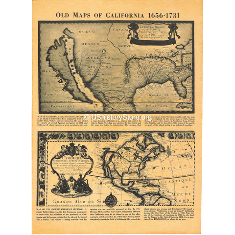
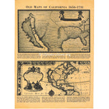
California - Historical Maps 1636 and 1731
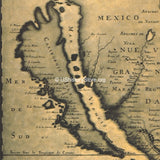
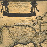
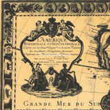
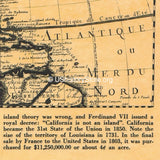
This antiqued parchment poster includes reprints of two old maps of California from the Colonial Period of American history. The map from 1636 presents California as an island - the popular belief at the time. The map from 1731 presents California as part of the mainland - which was an unpopular idea for many until 1746 when King Ferdinand of France issued a Royal Decree that "California is not an Island."
ABOUT OUR DOCUMENTS AND POSTERS
PERFECT FOR FRAMING! Each of our documents and posters are rolled, NEVER FOLDED, and then inserted in a poly sleeve, and shipped in rigid packaging.
COLOR, TEXTURE AND SIZE MAY VARY. Our plate printed documents and posters are hand antiqued in small batches and are thus subject to variation in color and texture. Actual height and width may vary within 1 inch of the stated dimensions.

![Civil War Battlefields Map Poster [large poster size]](http://store.ushistory.org/cdn/shop/products/civil-map_600x600.jpg?v=1484103023)
![Civil War Battlefields Map Poster [small poster size]](http://store.ushistory.org/cdn/shop/products/civil-map_95a68147-ec35-4e39-a3ce-8f17c77f97b4_600x600.jpg?v=1484103152)
